




Surroundings
Around Numana: routes and distances
Beaches, villages and trails of the Conero on foot, by bike and by car, with real times from the village and the beach.
Surroundings and routes
Where to go, and how long it takes
Choose where you start from and how you travel: we show you beaches, villages and places of art with real walking, cycling and driving times.
From the village to the beach
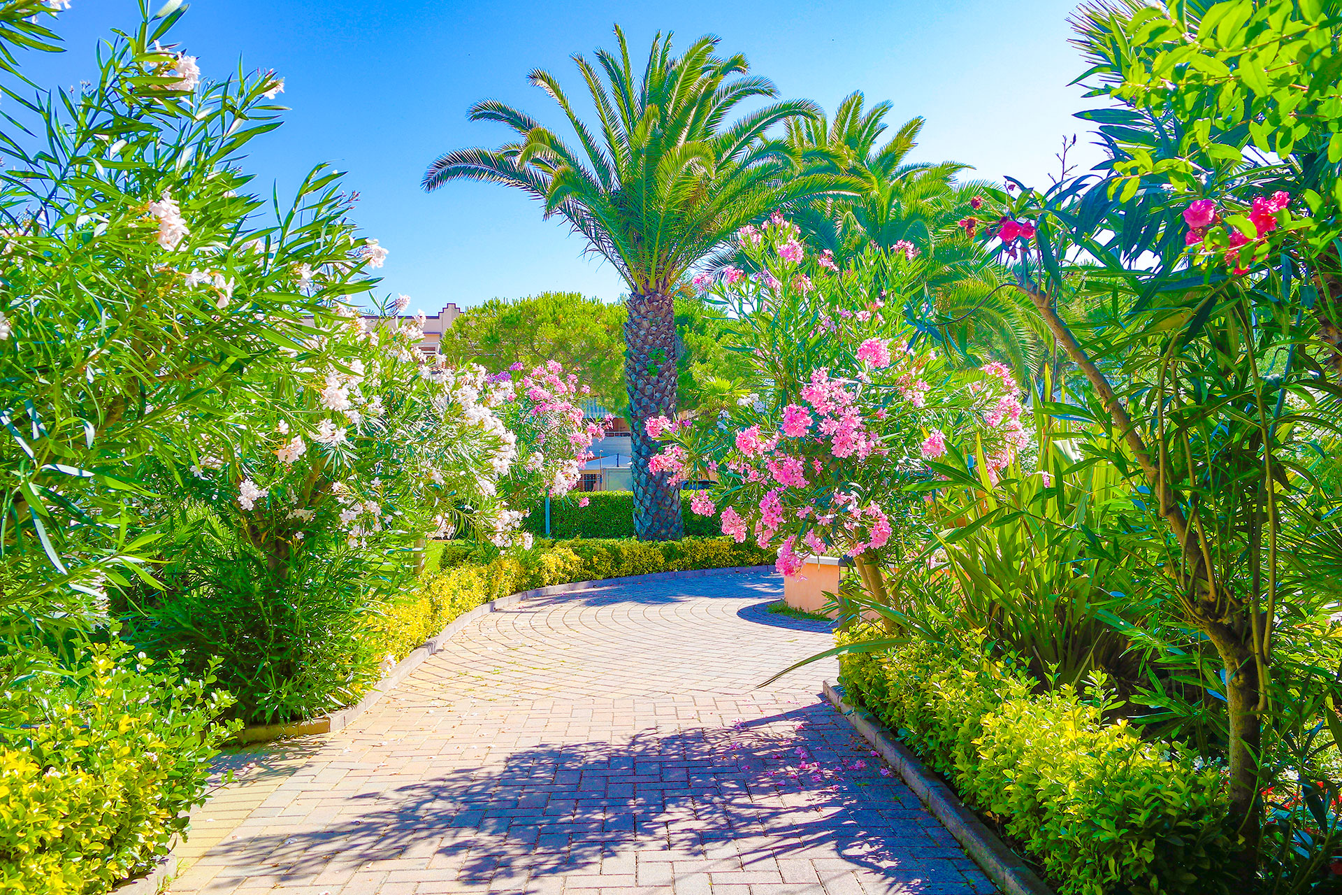
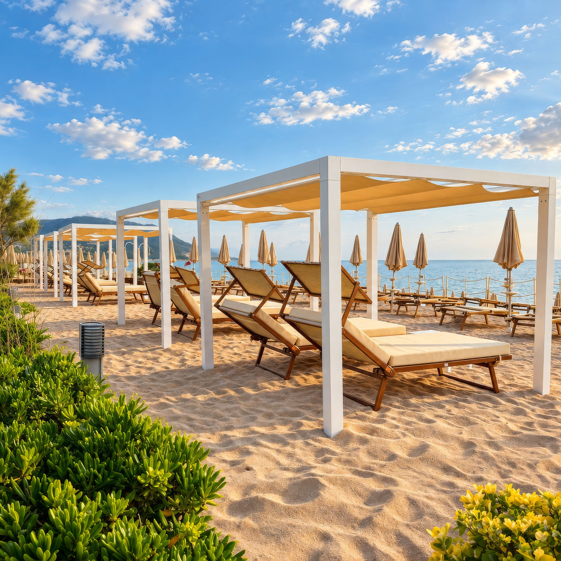
The Beach Club is just a short walk away: a quiet avenue down to the sea. · 270 m
- Sea and beaches
- Villages
- Nature
- Art and culture
- Village and beach
Approximate times calculated on real roads and paths (OpenStreetMap). "Take me there" opens directions in Google Maps.
In the village and on the beach
Getting there from reception Interactive maps
Restaurants, pools, sports grounds and umbrellas: find everything on the interactive maps.
Bike hire and information
Ask at reception or the Concierge: we’ll suggest the best route for the day and help with bikes, boats and excursions.